Your one stop shop for aftermarket snowmobile parts and accessories Mountain Side Performance Kremmling, CO (970) 406-2722
Ride prepared. Check current avalanche, weather, closure, and road information with the linked authority before departure.
Northwest Avalanche Center Avalanche.org
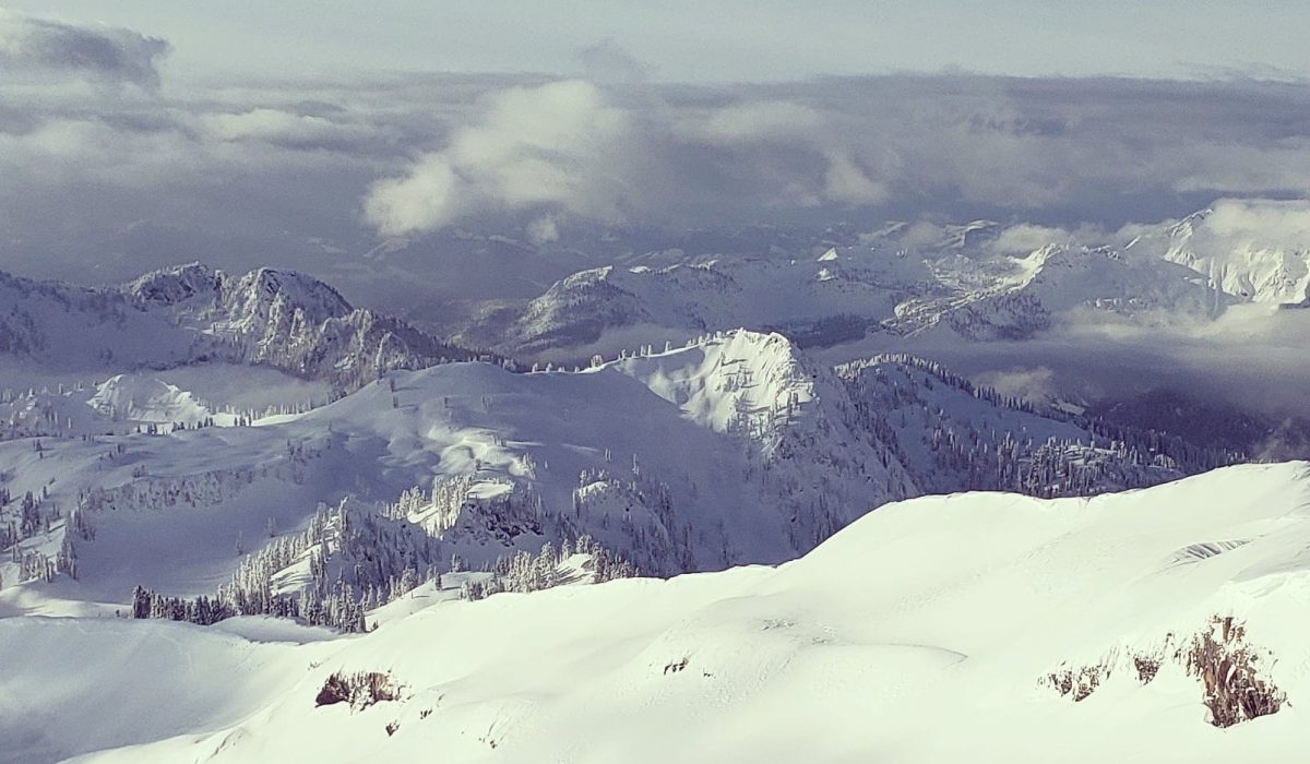
Mt. Baker NRA Sno-park is located in the Mount Baker/Methow region. This Sno-park features 19 miles of motorized snowmobiling trails. Trail Length: 19 miles Elevation: 1,160 feet Snowmobile access is provided on Forest Service road 13 to Schriebers Meadow, into upper Rocky and upper Sulphur Creek, the upper Railroad Grade, Metcalfe Moraine and lower Easton Glacier. Large crevasses on the glaciated slopes of Mt. Baker may be hidden by snow bridges and not readily visible. Snowmobiles must stay within boundaries of the Mt. Baker National Recreation Area and outside of the adjacent Mt. Baker Wilderness. Grooming info https://parks.wa.gov/find-sno-parks/mt-baker-nra-sno-park Washington State Parks winter recreation website

None
Forecast for Mt. Baker NRA Sno-Park, WA

Call 911 or use your satellite communications device Whatcom County Sheriff’s Office Call 911 or ( 360)-676-6911

https://www.northwestglaciercruisers.com

12 miles north of Highway 20 via Baker Lake Highway, west on USFS Road 12. Parking 75 spaces

Your one stop shop for aftermarket snowmobile parts and accessories Mountain Side Performance Kremmling, CO (970) 406-2722

Marlenee LLC Excavation & Marlenee Photography 6790 Hillside Drive Idaho Falls, ID 83401 (970) 227-7977
Marlenee LLC Excavation & Marlenee Photography 6790 Hillside Drive Idaho Falls, ID 83401 (970) 227-7977
Washington State Department of Transportation