Ashpan
Ride prepared. Check current avalanche, weather, closure, and road information with the linked authority before departure.
Open/Close Dates
RMSC resourceUnknown
Avalanche Conditions
RMSC resourceMount Shasta Avalanche Center Avalanche.org
Trail Map
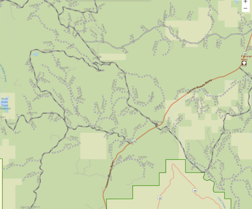
RMSC resourceLatitude, Longitude: 40.591112, -121.541963 The Ashpan Snowmobiling area is located in the northwestern region of the Lassen National Forest. This area consists of 39 miles of trails, a warming hut and a parking area. Old Station trail starts at the Ashpan Snowmobile Park, crossed Hwy. #44/89 and continues 17 miles into the town of Old Station. Bogard Tie Trail originates on the south side of Hwy. #44 at the top of the Hat Creek Rim. This trail, 23 miles in length, ends at the Bogard Rest Area. It connects the Old Station area with Eagle Lake and Almanor ranger District snowmobile trail systems. B-1 trail starts at the Ashpan snowmobile Park and terminates at the Rancheria RV Park on Hwy. #89. The B-1 trail is 22 miles in length and provides access to overnight RV camping, a restaurant and store.
Webcams
RMSC resource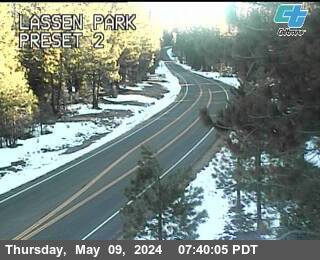
Nearest Snotel
RMSC resourceNONE
Weather
RMSC resourceForecast for Ashpan sno park area

Search & Rescue
RMSC resourceShasta County County Search & Rescue Call 911 or (530) 245-6095

Snowmobile Clubs
RMSC resourceRedding Sno-Riders
Parking
RMSC resourceDirections: Directions from Ashpan: Ashpan is located on State Highway #44/89, approximately 9 miles southwest of the junctions of State Highways #44 and #89
User Permits
RMSC resourceGet Permits Now California Sno-Park Info
Products & Services
RMSC resourceYour one stop shop for aftermarket snowmobile parts and accessories Mountain Side Performance Kremmling, CO (970) 406-2722 Marlenee LLC Excavation & Marlenee Photography 6790 Hillside Drive Idaho Falls, ID 83401 (970) 227-7977 List Your Business with Us



Lodging
RMSC resourceList Your Business with Us
Road Conditions
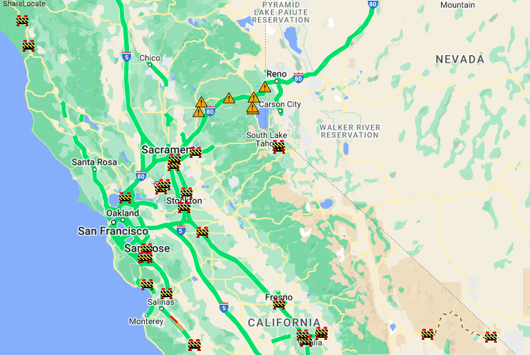
RMSC resourceNOT a LIVE image-click image or link for most recent image California Department of Transportation