Your one stop shop for aftermarket snowmobile parts and accessories Mountain Side Performance Kremmling, CO (970) 406-2722
Ride prepared. Check current avalanche, weather, closure, and road information with the linked authority before departure.
Sierra Avalanche Center Avalanche.org
Snowmobiling is allowed on Blue Lakes Road and other designated trails as shown on the Carson Ranger District Winter Recreation Guide. Download the Carson Ranger District Winter Recreation Guide or pick one up for FREE at the Carson Ranger District Office: Medium Resolution, 6.6MB PDF

None
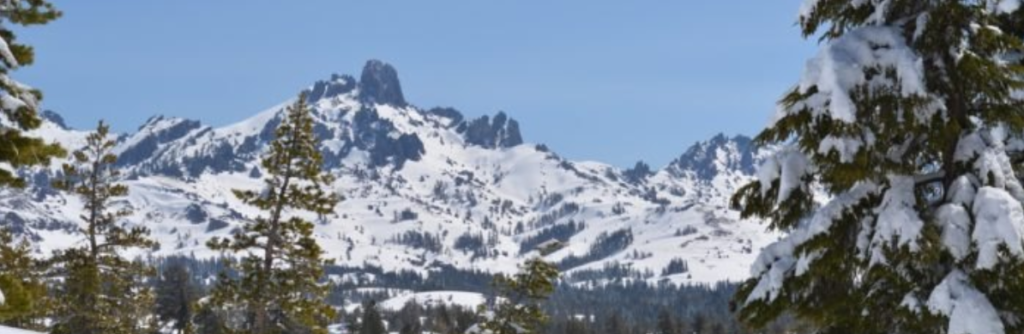
Forecast for Hope Valley area

Alpine County County Search & Rescue Call 911 or (530) 694-2231 Call 911 or use your satellite communications device
Lake Tahoe Snowmobilers

Directions: Off highway parking for snowmobiling is located at the Hope Valley Sno-Park, on Blue Lakes Road on the south side of State Highway 88 – 5 miles east of Carson Pass and two miles west of Pickett’s Junction. The the GPS Coordinates are: N38 44 59.00 W119 56 26.00 Dispersed camping with three day maximum stay from November 1 to May 31.

California Sno-Park Info
Your one stop shop for aftermarket snowmobile parts and accessories Mountain Side Performance Kremmling, CO (970) 406-2722

Marlenee LLC Excavation & Marlenee Photography 6790 Hillside Drive Idaho Falls, ID 83401 (970) 227-7977

Marlenee LLC Excavation & Marlenee Photography 6790 Hillside Drive Idaho Falls, ID 83401 (970) 227-7977
California Department of Transportation