Your one stop shop for aftermarket snowmobile parts and accessories Mountain Side Performance Kremmling, CO (970) 406-2722
Ride prepared. Check current avalanche, weather, closure, and road information with the linked authority before departure.
Sierra Avalanche Center Avalanche.org
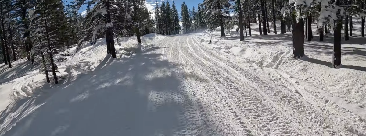
The area west of Little Truckee Summit on Highway 89 north of Truckee is a very popular snowmobiling destination. Two staging areas can be used to access the area, one at Prosser Creek and the other at Little Truckee Summit. There are 110 miles of groomed trails to follow. Trails connect north with the Yuba Pass Sno-Park. Overnight camping is allowed at the Little Truckee Summit trailhead for up to 7 days from November 15 to April 14. Restrooms are available there, but there is no garbage service or water.


Forecast for Little Truckee area

Sierra County County Search & Rescue Call 911 or (530) 289-3700 Call 911 or use your satellite communications device
None
Directions: Trailhead: Intersection of Jackson Meadow Road and Highway 89, 17 miles north of Truckee. Overnight camping for seven days or less is permitted from November 16 to April 14 at the Little Truckee Summit Parking Area. Restrooms and fire rings available. No garbage services or water is available.
California Sno-Park Info
Your one stop shop for aftermarket snowmobile parts and accessories Mountain Side Performance Kremmling, CO (970) 406-2722

Marlenee LLC Excavation & Marlenee Photography 6790 Hillside Drive Idaho Falls, ID 83401 (970) 227-7977

Marlenee LLC Excavation & Marlenee Photography 6790 Hillside Drive Idaho Falls, ID 83401 (970) 227-7977