Your one stop shop for aftermarket snowmobile parts and accessories Mountain Side Performance Kremmling, CO (970) 406-2722
Ride prepared. Check current avalanche, weather, closure, and road information with the linked authority before departure.
Eastern Sieera Avalanche Center Avalanche.org
209 miles of snowmobile routes in this area

None
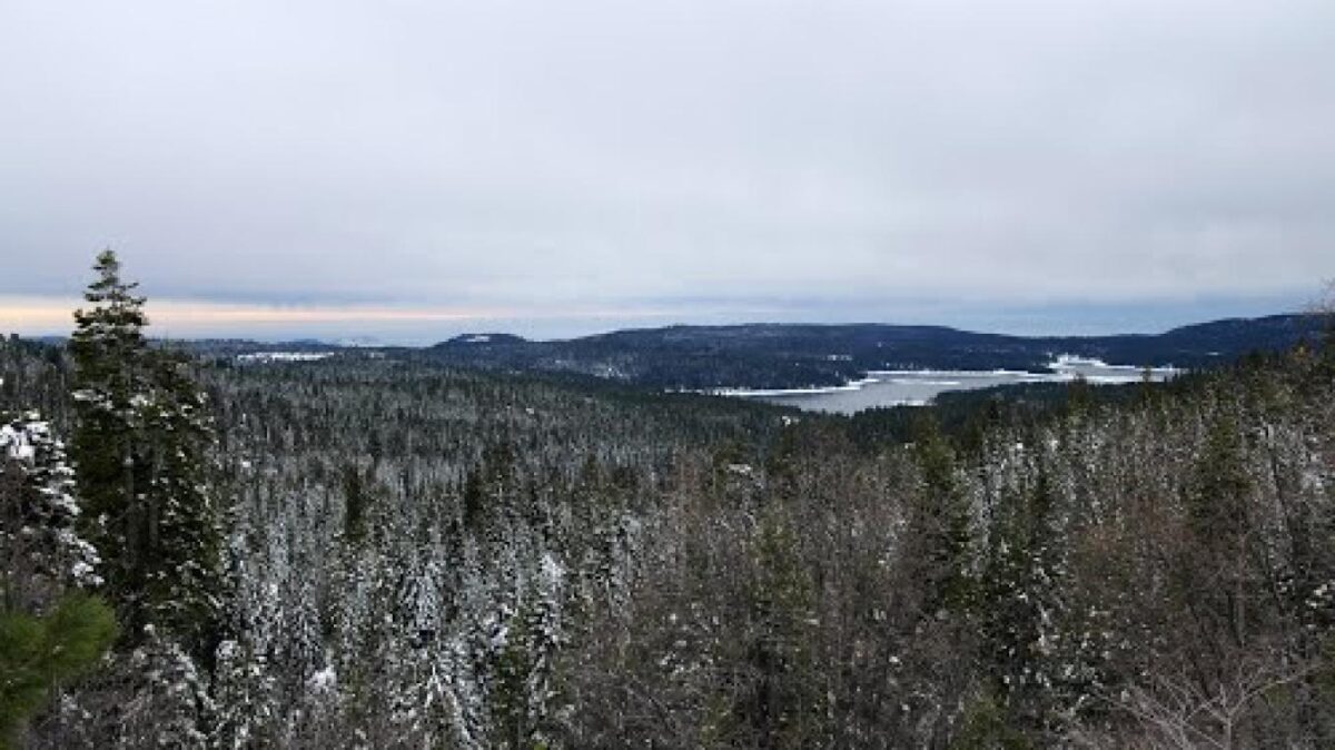
Forecast for Tamarack Sno Park area

Fresno County County Search & Rescue Call 911 or (559) 600-8039 Call 911 or use your satellite communications device

None
Directions Tamarack is located on the south side of Highway 168 east of Shaver Lake.


California Sno-Park Info
Your one stop shop for aftermarket snowmobile parts and accessories Mountain Side Performance Kremmling, CO (970) 406-2722

Marlenee LLC Excavation & Marlenee Photography 6790 Hillside Drive Idaho Falls, ID 83401 (970) 227-7977

Marlenee LLC Excavation & Marlenee Photography 6790 Hillside Drive Idaho Falls, ID 83401 (970) 227-7977