

Mountain Side Performance
Ride prepared. Check current avalanche, weather, closure, and road information with the linked authority before departure.
Use nearby Bitterroot avalanche conditions.
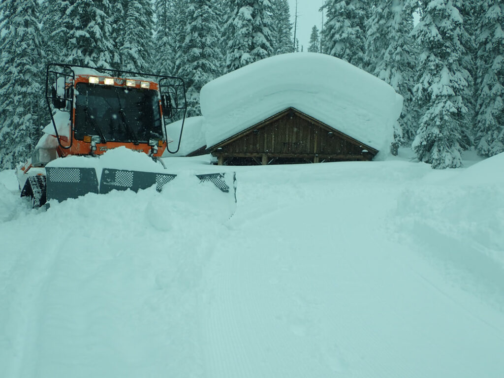
Access to Skalkaho Pass, Skalkaho Basin, and Sand Basin. Cooperative operation with Montana Fish, Wildlife and Parks and the Bitterroot Ridge Runner Snowmobile Club. Trails are marked after New Year’s. Watch for skiers on lower stretches of Skalkaho Road. Watch for ice in the spring on both lower sections of trail. Maps are available at the snow park. Parking is available for 20 vehicles on the Bitterroot side. Parking for 6 vehicles is available at Sapphire Gulch on the Philipsburg side.


NONE
Forecast for Skalkaho Pass, MT

Ravalli County Search and Rescue, Inc Call 911 or use your Sat communication device

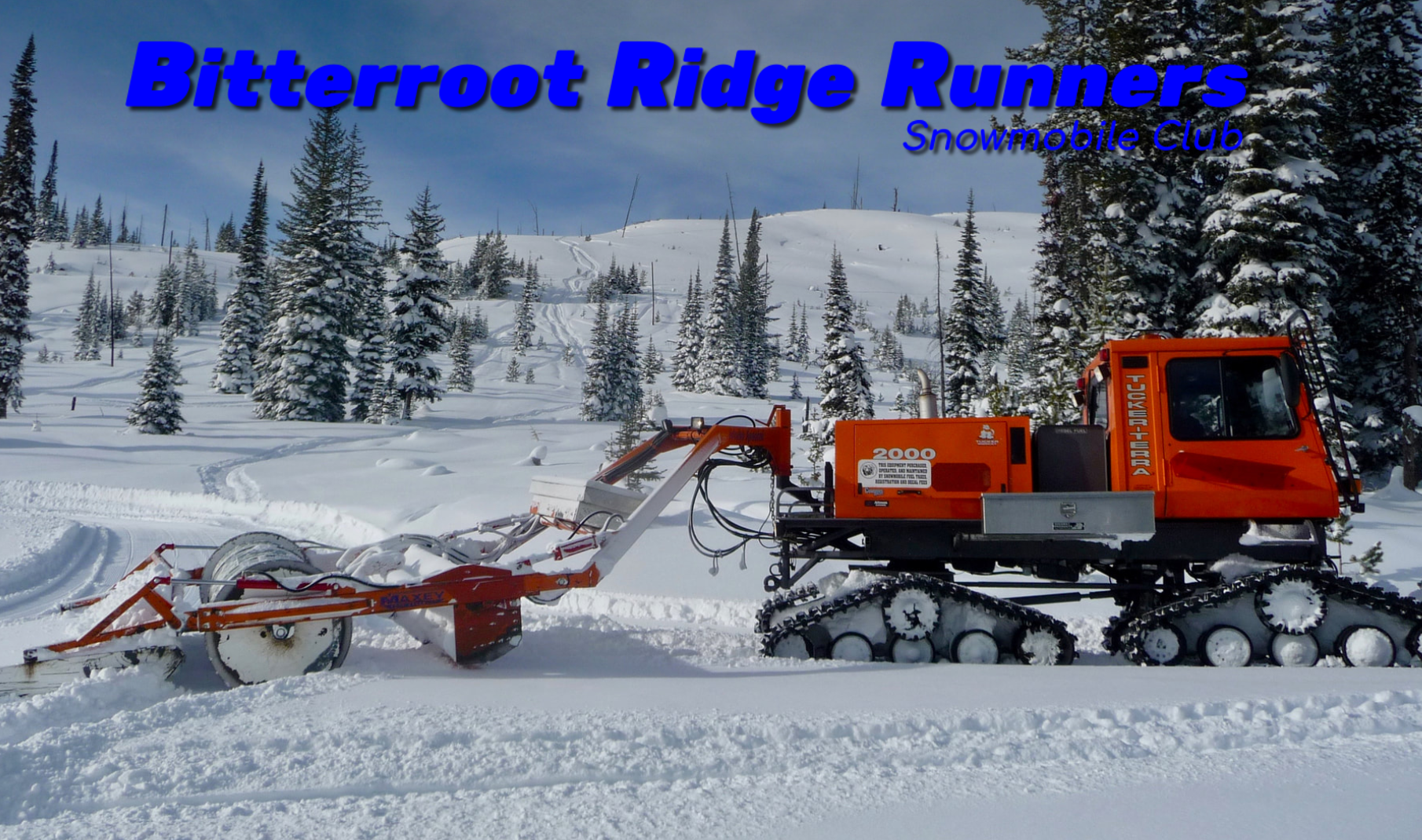
Bitterroot Ridge Runners Snowmobile Club

Mountain Side Performance


Marlenee LLC Excavation & Marlenee Photography
MDT Travel and Weather Information