Your one stop shop for aftermarket snowmobile parts and accessories Mountain Side Performance Kremmling, CO (970) 406-2722
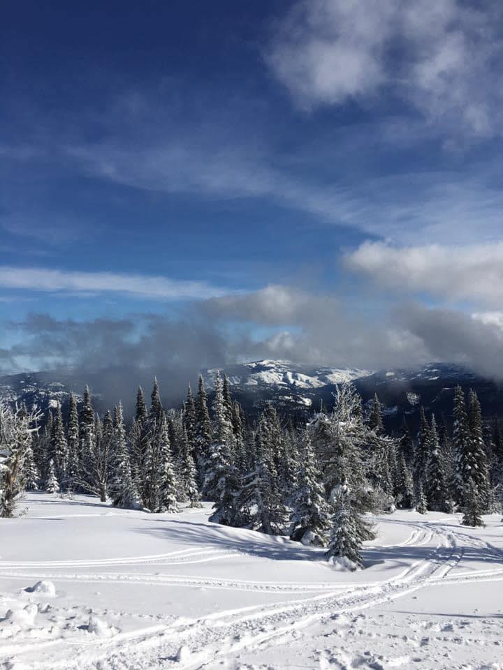
Ride prepared. Check current avalanche, weather, closure, and road information with the linked authority before departure.
Northwest Avalanche Center Avalanche.org
Directions: 23 miles west of Naches. Hwy 12 to Tieton Road for 4.1 mi Elevation: 2,950 feet 5 spaces. Trail system 58 miles Sanitary facility along trails, shelter Sno-Park Permit required during the season Exception: From April 1 to 30, a Sno-Park Permit may or may not be required. Please obey posted signs indicating whether a permit is needed. Contact the local agency listed for each Sno-Park for more information. Please note: After periods of extreme weather, work crews may be on trails during the day to clear debris or drifts. Please exercise caution. Winter Recreation Grooming Map


Forecast for Fish Creek area

Yakima County Sheriff’s Office Call 911 or (509 )-574-2500 Call 911 or use your satellite communications device

Naches, WA Chinook Pass Snowmobile Club 509-966-5074 Cascade Snow Drifters Cascade Snow Drifters Snowmobile Club 314 So. 5 Street Selah, WA 98942 Nina Gottschalk, President – (509) 945-2511 Dean Gottschalk, Vice President – (509) 697-6586 Shay Lecavalier, Secretary – (509) 945-2511 98shay@gmail.com

Your one stop shop for aftermarket snowmobile parts and accessories Mountain Side Performance Kremmling, CO (970) 406-2722

Marlenee LLC Excavation & Marlenee Photography 6790 Hillside Drive Idaho Falls, ID 83401 (970) 227-7977

Marlenee LLC Excavation & Marlenee Photography 6790 Hillside Drive Idaho Falls, ID 83401 (970) 227-7977
Washington State Department of Transportation