Your one stop shop for aftermarket snowmobile parts and accessories Mountain Side Performance Kremmling, CO (970) 406-2722
Ride prepared. Check current avalanche, weather, closure, and road information with the linked authority before departure.
Idaho Panhandle Avalanche Center Avalanche.org
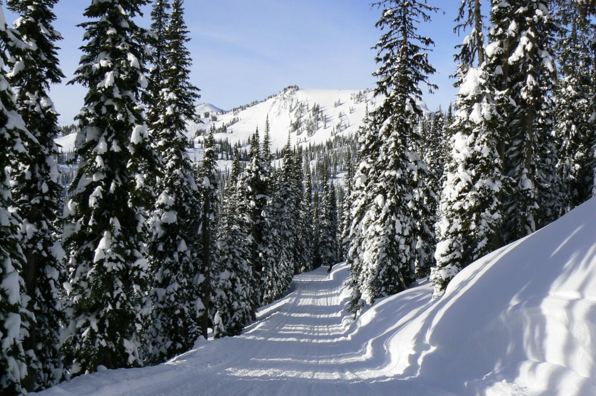
Directions: 19 mi east of Colville via Hwy 20 at County Road 4954 Elevation: 3,200 feet One of three Sno-Parks in the Gillette Recreation Area. Also includes Old Dominion and Flodelle/Tacoma Creek sno-parks. 50 spaces (3 Sno-Parks) spaces. Trails: 1.) 550 / 7018 / 7015 / Blacktail Butte Trail system 138 miles Sanitary facilities, food at nearby establishment Sno-Park Permit required November thru April or as posted. Please obey posted signs indicating whether a permit is needed. Contact the local agency listed for each Sno-Park for more information. Special Events: Sno-Park is open to all visitors during special events. Arrive early to secure a parking space. When parking lot is full, please proceed to the next Sno-Park. Please note: After periods of extreme weather, work crews may be on trails during the day to clear debris or drifts. Please exercise caution. Winter Recreation Grooming Map

None
Forecast for Mill Creek area

Stevens County Sheriff’s Office Call 911 or (509)-684-2555 Call 911 or use your satellite communications device
Colville Driftriders

Your one stop shop for aftermarket snowmobile parts and accessories Mountain Side Performance Kremmling, CO (970) 406-2722

Marlenee LLC Excavation & Marlenee Photography 6790 Hillside Drive Idaho Falls, ID 83401 (970) 227-7977

Marlenee LLC Excavation & Marlenee Photography 6790 Hillside Drive Idaho Falls, ID 83401 (970) 227-7977
Washington State Department of Transportation